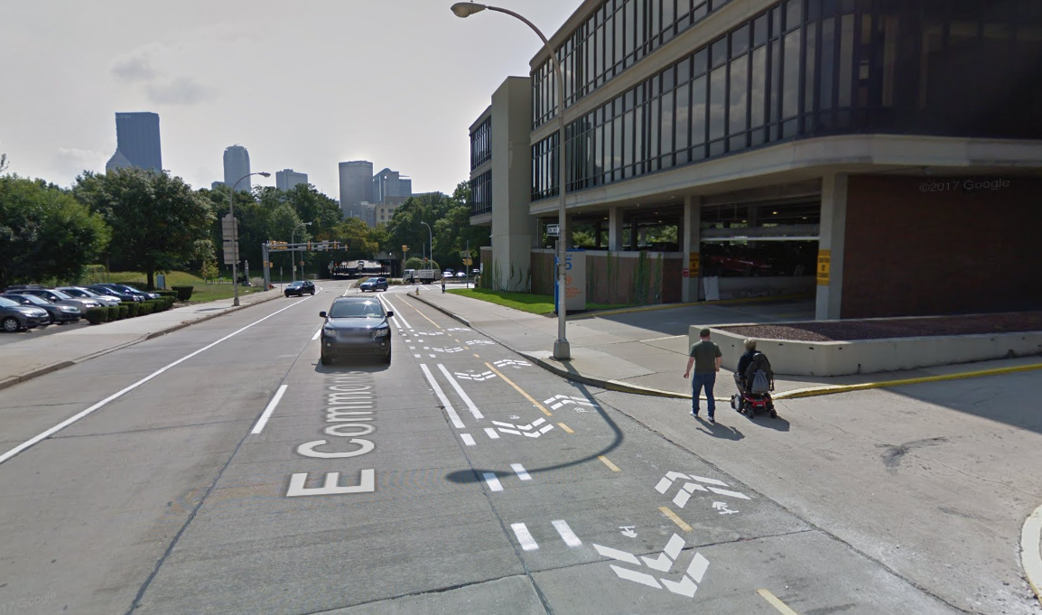
Mackin completed multiple work orders under our third Open End contract with the City of Pittsburgh to convert Allegheny Commons, commonly referred to as Allegheny Circle, from a four lane one-way road to a two-lane-two-way city street with bicycle facilities and parking.
Allegheny Commons TIS
Mackin investigated impacts to traffic if the one-way four lane existing Allegheny Commons was converted into a two-lane two-way city street with a cycle track based on existing traffic counts and SPC modeling. Tasks completed included:
- Collecting manual traffic counts including turning movements of vehicles, Pedestrian, bicycle, and heavy vehicle traffic from 7AM to 6 PM at 5 intersections
- Collecting 48 Hour ADT volumes for the circle using ATR’s
- Providing AutoTurn movements at the corners of the circle assuming the following proposed lane configuration for the existing 44-foot cartway
- Using modeling data provided by SPC to calculate the distribution percentages of traffic
- Redistributed traffic for Allegheny Circle to account for two-way traffic
- Conduct a capacity analysis for the intersections as they would operate under two-way traffic
- Produced a traffic study with appendices consisting of traffic counts, traffic volume stick figures, AutoTurn drawings, redistribution percentage figures, multi-way stop sign warrants, traffic signal warrants, and capacity analyses
Allegheny Commons Survey
Mackin conducted a detailed topographic survey including significant features, elevations, right-of-way, and property line corners, if located, of Allegheny Commons from back of sidewalk to back of sidewalk, an estimated distance of 4,900 feet. At the five currently signalized intersections, the side streets were surveyed 100 feet away from the outer curb line of Allegheny Commons. Mackin’s GPS equipment was utilized to establish horizontal and vertical control for this project. Horizontal coordinates were based on North American Datum of 1983 (NAD 83), PA State Plane Coordinate System, South Zone, SPC (3702 PA S). Vertical control was based on North American Vertical Datum of 1988 (NAVD 88).
Allegheny Commons Final Design
Mackin is currently completing this multi-phased work order. During Phase 1, Mackin designed a two-way cycle track, performed traffic signal warrant analysis, and incorporated parking on the outer lane of Allegheny Commons (Allegheny Circle). The exiting four lanes were reduced to two lanes operating in a counterclockwise direction. These improvements were constructed by the City using on-call contractors.
Phase 2 required Mackin to perform traffic analysis on the circle and included the over 1 million square foot Faros development that was once Allegheny Center Mall. The City used the study to determine where auxiliary lanes would be added and to redesign all five traffic signals along Allegheny Commons. In addition to finalizing the cycle track, designs included creating protected bike intersections at 4 locations, these bike lanes then continued away from the circle along the four feeder roads for one block, terminating at signalized intersection. Mackin revised the signals and pavement markings at these locations as well. Allegheny Commons’ lanes were designed to accommodate City standard busses, requiring over widening in the corners of the circle. Over 40 ADA compliant curb lanes were designed to accommodate pedestrians. Due to funding restrictions and an anticipated long lead time on signal supports, Mackin split the project into three contracts. One to pre-order the signal supports for the Federally Funded contract. A second contract for specific items of work that were paid for with CDBG funding, and a third contract using Federal funds and bid through PennDOT’s ECMS system.